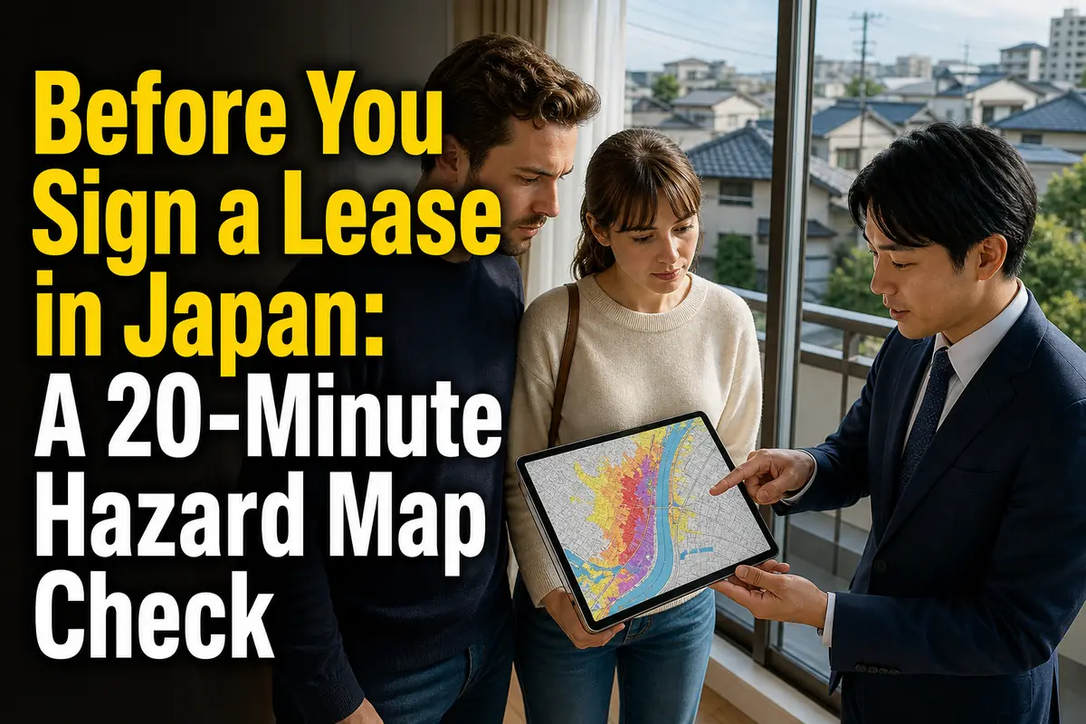
Before You Sign a Lease in Japan: A 20-Minute Hazard Map Check
Before paying a deposit or signing a lease, enter the property’s exact address in Japan’s official Hazard Map Portal and check at least four risks: river flooding, rainwater flooding, landslides, and—near the coast—tsunami or storm surge. Then open the municipality’s own map to confirm evacuation routes and locations.
This check is free, requires no application, and can reveal differences between homes only a few streets apart. It is useful for renters, homebuyers, students, workers, and families comparing places to live.
What to check first
- How deep floodwater could become at the building
- Whether the address is inside a landslide warning zone
- How long flooding may continue
- Whether a usable evacuation route crosses another hazard area
- Which evacuation site is suitable for each type of disaster
- Whether upper floors would remain usable if vertical evacuation became necessary
A hazard map does not predict exactly what will happen to a property. It shows modeled or designated risk under stated assumptions. Use it to compare addresses, ask better questions, and make an evacuation plan—not as a guarantee that a colored or uncolored location is safe.
Start with two official maps, not one
The national portal is best for comparing hazards across addresses, while the municipal map provides the local instructions you may need during an emergency.
Japan’s Ministry of Land, Infrastructure, Transport and Tourism operates the Hazard Map Portal. It offers two related services.
Overlapping Hazard Map: compare risks at one address
The service known in Japanese as Kasaneru Hazard Map (重ねるハザードマップ) lets you search an address and place several layers on the same map. Available information includes flood, landslide, storm-surge, and tsunami risks, as well as terrain and road-related information.
Use it when you want to compare two apartments under the same set of layers. It is especially helpful when the properties are in different municipalities, whose printed maps may use different designs.
The portal can also display risk information as text for a selected point. This helps when a color boundary is difficult to read, but you should still inspect the legend and surrounding area.
Municipal Hazard Map: confirm local action
The service called Wagamachi Hazard Map (わがまちハザードマップ) links to maps published by municipalities under relevant laws and local disaster-planning systems.
Municipal maps may show:
- Local evacuation sites and shelters
- Recommended routes or areas where evacuation is difficult
- Community-specific warnings
- Contact details and sources of emergency information
- Explanations of the colors used on that particular map
Coverage, languages, publication dates, and map formats vary by city, ward, town, and village. If the English version is older than the Japanese version, compare the update dates and ask the municipal disaster-prevention office which one is current.
ここがポイント: Use the national map to identify the hazards around an address, then use the municipality’s latest map to decide where and how your household would evacuate.
The 20-minute check before viewing or applying
A useful review follows the route from the building itself to a safe destination. Do not stop after checking whether a pin falls inside a colored area.
1. Confirm the exact property location
Search the full address, including the block and building number when available. A station name or neighborhood name is too broad: flood depth and landslide-zone boundaries can change within a short distance.
Check that the pin is on the correct building. Japanese addresses do not always follow street order, and map search results can land near the center of a block.
If the building is new and not shown correctly, compare the location with:
- The rental listing’s map
- The building entrance or lot number during your viewing
- An official municipal map
- The latitude and longitude, if the agent can provide them
2. Turn on one hazard layer at a time
Begin with separate layers. This makes boundaries and legends easier to read.
For most inland addresses, check:
- Flooding from rivers
- Inland flooding caused by rain that drainage systems cannot handle
- Landslide hazards
For coastal or low-lying addresses, add:
- Tsunami
- Storm surge
In volcanic regions, also find the municipality’s volcano map. National and local map coverage differs, so the absence of a visible layer should not be treated as proof that the hazard does not exist.
3. Read the legend before judging the color
A colored flood zone usually represents a modeled inundation range, but the meaning of each color depends on the map and scenario. Never assume that the same shade means the same depth on two different municipal maps.
Record three items for each property:
- The modeled depth range at the building
- The rainfall, river, or other scenario used
- The map’s publication or revision date
The scenario matters. A map based on an assumed maximum-scale rainfall event answers a different question from a map showing a more frequent rainfall level. If several scenarios are available, compare them rather than quoting only the most convenient one.
4. Compare depth with the floor and building
A depth category is not a simple pass-or-fail result. Translate it into a housing question.
For example, ask:
- Is the apartment on the ground floor, a basement level, or an upper floor?
- Are the entrance, electrical equipment, parking area, or bicycle storage below the apartment?
- Could residents reach an upper floor without using an elevator?
- Would the building remain usable if water, power, or sewer service stopped?
- Does the lease prohibit or limit use of common upper areas during an emergency?
An upper-floor unit may reduce direct exposure inside the room, but it does not remove the risk of isolation, loss of utilities, damage to belongings on lower levels, or an unusable exit.
5. Check flood duration, not only depth
Where available, turn on the inundation-duration layer. Two properties with similar modeled depths may have very different recovery problems if one area is expected to remain flooded longer.
This matters for people who depend on:
- Refrigerated medicine or powered medical equipment
- Step-free access or an elevator
- Regular care visits
- A car stored at ground level
- A fixed route to work, school, or childcare
Longer isolation can make vertical evacuation in the building less practical, even when the apartment itself is above the expected water level.
6. Inspect the land between home and safety
Zoom out and trace at least two possible routes. Look for rivers, canals, underpasses, bridges, steep slopes, coastal areas, and low ground.
The nearest site by straight-line distance is not automatically the safest. A short route can be unsuitable if it crosses the same flood zone you are trying to leave or passes below a landslide-prone slope.
Test the route on foot before signing if disaster risk will materially affect your decision. Check whether it remains realistic at night, in heavy rain, with children, with luggage, or for a family member with limited mobility.
How to read the main hazard layers
Each layer answers a different question, so one favorable result cannot cancel another hazard.
River flooding
A river-flood layer estimates areas that may be inundated when a specified river system overflows under the map’s stated assumptions. Check the depth, expected duration when available, and whether the building is near a boundary.
A location outside the colored area can still face blocked roads, drainage problems, or flooding from a smaller waterway not represented in that layer.
Inland flooding
Inland flooding, often labeled naisui (内水), occurs when intense rain exceeds the capacity of drains, sewers, channels, or pumps. It can affect streets and buildings even without a major river overflowing.
This layer is important for basement units, underground entrances, low road sections, and properties near underpasses. Availability differs by municipality.
Landslide hazards
Landslide maps may identify areas associated with steep-slope failure, debris flows, or landslides. Pay attention when the property, access road, station route, or evacuation route touches a designated zone.
A narrow boundary deserves a closer look, not a quick dismissal. Confirm it on the municipality’s latest detailed map because the national portal collects information prepared by different authorities.
Tsunami
A tsunami layer shows modeled inundation areas and may include depth or arrival-related information, depending on the source. If a coastal property is in or near a zone, identify high ground or a designated tsunami evacuation building and estimate whether every household member can reach it promptly.
Do not plan only around a distant general shelter. Immediate protection from a tsunami may require a destination designated for that hazard.
Storm surge
Storm surge is a rise in coastal water associated with severe weather conditions. It is different from a tsunami and may extend along bays, ports, and rivers.
Check it separately from the river-flood layer. A property can have a different risk classification under each model.
Terrain and land history
Hazard overlays show modeled or designated areas. Terrain information helps explain why risk may concentrate in a particular place.
The Geospatial Information Authority of Japan’s GSI Maps includes topography, elevation, landform classification, aerial photographs, and disaster information. Its land-condition information can help identify lowlands, former channels, embankments, reclaimed ground, terraces, and slopes.
This is supporting evidence, not a do-it-yourself structural assessment. Use it to formulate questions for the municipality, landlord, agent, insurer, or a qualified building professional.
Evacuation site and shelter are not the same thing
Choose a destination that is approved for the hazard you face; a familiar school or community center may serve a different purpose.
Japan distinguishes between two important terms:
- Designated emergency evacuation site (shitei kinkyū hinan basho, 指定緊急避難場所): a place for urgently escaping danger. Municipalities designate these by disaster type, such as flood, landslide, earthquake, tsunami, or large fire.
- Designated shelter (shitei hinanjo, 指定避難所): a facility where affected residents can stay for a period when returning home is unsafe or impossible.
One facility may serve both roles, but that is not automatic. Check the disaster symbols and the municipality’s instructions rather than assuming that every marked shelter is safe during a flood or tsunami.
As of July 13, 2026, the national Hazard Map Portal announced that designated emergency evacuation sites shown in GSI Maps could also be viewed through the overlapping map’s full information selection. This is useful for initial planning, but local opening status and emergency instructions still need to be confirmed through the municipality.
Questions to ask during a property viewing
The map becomes useful when it changes what you ask about the building. Save screenshots or notes for each serious candidate and take them to the viewing.
Ask the agent, landlord, or building manager:
- Has the building or its equipment experienced flood damage?
- Where are the electrical panels, pumps, boilers, and other critical systems?
- Is there a basement, underground parking area, or mechanical parking system?
- What is the building’s evacuation procedure?
- Can residents use stairs to reach a safer upper level?
- Are emergency notices available in languages residents understand?
- Is there a residents’ disaster manual, stockpile, or annual drill?
- What insurance is included, and what water-related damage is excluded?
Past experience can add context, but it does not replace a current hazard map. A statement such as “this building has never flooded” does not establish what will happen under the scenarios shown on the map.
Common mistakes that weaken the check
Most errors come from reading one symbol in isolation instead of reviewing the address, scenario, route, and local instructions together.
Treating an uncolored area as risk-free
Map preparation and coverage differ by hazard and authority. Models also have limits. Check neighboring terrain, municipal materials, and the source information for the layer.
Checking only earthquakes
Earthquake shaking is important throughout Japan, but the same address may also face flood, landslide, tsunami, storm-surge, fire-spread, or access risks. Hazard maps do not combine every consequence into one score.
Comparing colors without comparing legends
Two maps may use similar colors for different depth bands or scenarios. Write down the actual range rather than relying on visual memory.
Looking only at the apartment floor
A high-floor room can still lose electricity, water, elevator service, access, parking, or safe ground-floor exits.
Selecting the nearest shelter icon
Confirm that the location is designated for the relevant disaster. Also check whether the route itself enters a deeper flood zone or passes a dangerous slope.
Using an old downloaded PDF
Municipal maps and portal datasets are revised. Before committing to a property, reopen the official pages and record the date you checked them.
What the map cannot decide for you
A hazard map supports a housing decision, but it does not provide a building inspection, insurance quotation, or personal evacuation assessment.
The map alone cannot confirm:
- Whether a specific building will remain structurally safe
- Whether water will enter through a particular doorway or drain
- Whether utilities and elevators will continue operating
- Whether a household member can evacuate within the available time
- Whether an insurance policy covers the relevant damage
- Whether a listed facility will be open during a particular event
There is also no universal rule that a home inside a colored zone is unacceptable. A household may judge an upper-floor reinforced building with a strong evacuation plan differently from a basement unit at the same address. Price, accessibility, commute, family needs, and alternative housing supply all affect the decision.
The key is to make the tradeoff explicit. If you accept a mapped risk, know what feature reduces exposure, what could still fail, and where you will go.
A simple comparison sheet for two homes
Use the same questions for every candidate so that rent and commute time do not hide a major safety difference.
For each address, record:
- Exact address and floor
- River-flood depth and scenario
- Inland-flood indication
- Inundation duration, if available
- Landslide-zone status
- Tsunami and storm-surge status, if relevant
- Suitable emergency evacuation site for each hazard
- Two possible routes and barriers along them
- Municipal map revision date
- Building-specific answers from the viewing
- Unresolved questions and the official office to contact
A screenshot is helpful, but keep the source link and date. A layer can be updated after you save the image.
Final decision: three checks before signing
Do not ask only “Is this address safe?” Ask whether you understand the risks, the building’s weak points, and your household’s next action.
Before signing, confirm:
- The address: You checked every relevant layer using the exact building location.
- The route: You identified a destination suitable for each hazard and a realistic way to reach it.
- The building: You asked how the floor, exits, utilities, parking, and management plan change the practical risk.
If a layer is missing, a boundary is unclear, or the English material appears outdated, contact the municipality’s disaster-prevention office before making the final decision. The most important unresolved item is often not the color under the building—it is whether everyone in the household can act safely when the usual route, elevator, or nearby facility is unavailable.
参照リンク
- MLIT and GSI Hazard Map Portal
- MLIT Disaster Prevention Portal: Conceivable Damage
- Hazard Map Portal: Instructions and Materials
- Geospatial Information Authority of Japan: GSI Maps
- GSI Maps
- Geospatial Information Authority of Japan: Geographic Information
- Cabinet Office: Designated Emergency Evacuation Sites and Designated Shelters
- Cabinet Office: Multilingual Evacuation Information